
Higashi Ward topographic map
Interactive map
Click on the map to display elevation.
About this map
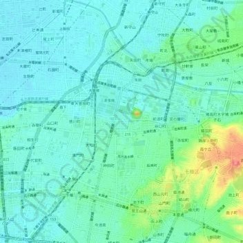
Name: Higashi Ward topographic map, elevation, terrain.
Location: Higashi Ward, Nagoya, Aichi Prefecture, Japan (35.16936 136.90722 35.19944 136.96645)
Average elevation: 23 m
Minimum elevation: 7 m
Maximum elevation: 77 m
Other topographic maps
Click on a map to view its topography, its elevation and its terrain.