
Thank you for supporting this site ❤️
Make a donation
Make a donation
Carmel topographic map
Click on the map to display elevation.
Thank you for supporting this site ❤️
Make a donation
Make a donation
About this map
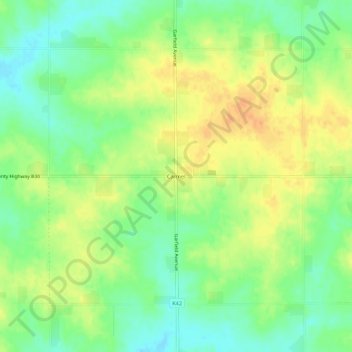
Name: Carmel topographic map, elevation, terrain.
Location: Carmel, Sioux County, Iowa, United States (43.10762 -96.25513 43.14762 -96.21513)
Average elevation: 433 m
Minimum elevation: 415 m
Maximum elevation: 451 m
Thank you for supporting this site ❤️
Make a donation
Make a donation