
Банатско Велико Село topographic map
Interactive map
Click on the map to display elevation.
About this map
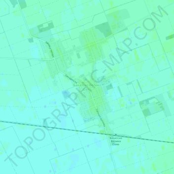
Name: Банатско Велико Село topographic map, elevation, terrain.
Average elevation: 79 m
Minimum elevation: 76 m
Maximum elevation: 83 m
Other topographic maps
Click on a map to view its topography, its elevation and its terrain.
Санад
Serbie > Voïvodine > Севернобанатски управни округ > Општина Чока
Санад, Општина Чока, Севернобанатски управни округ, Voïvodine, 24400, Serbie
Average elevation: 80 m