
Thank you for supporting this site ❤️
Make a donation
Make a donation
Kannad topographic map
Click on the map to display elevation.
Thank you for supporting this site ❤️
Make a donation
Make a donation
About this map
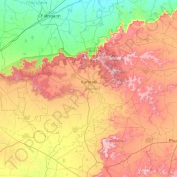
Name: Kannad topographic map, elevation, terrain.
Location: Kannad, Aurangabad, Maharashtra, India (19.99896 74.90543 20.49906 75.46676)
Average elevation: 584 m
Minimum elevation: 304 m
Maximum elevation: 955 m
Thank you for supporting this site ❤️
Make a donation
Make a donation