
Thank you for supporting this site ❤️
Make a donation
Make a donation
Moonlight topographic map
Click on the map to display elevation.
Thank you for supporting this site ❤️
Make a donation
Make a donation
About this map
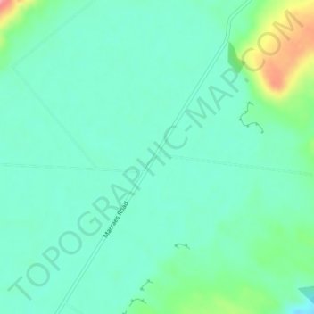
Name: Moonlight topographic map, elevation, terrain.
Location: Moonlight, Waitaki District, Otago, New Zealand (-45.42015 170.32160 -45.40015 170.34160)
Average elevation: 478 m
Minimum elevation: 452 m
Maximum elevation: 561 m
Waitaki District trails, hiking, mountain biking, running and outdoor activities
Thank you for supporting this site ❤️
Make a donation
Make a donation