
Thank you for supporting this site ❤️
Make a donation
Make a donation
Camp 7 topographic map
Click on the map to display elevation.
Thank you for supporting this site ❤️
Make a donation
Make a donation
About this map
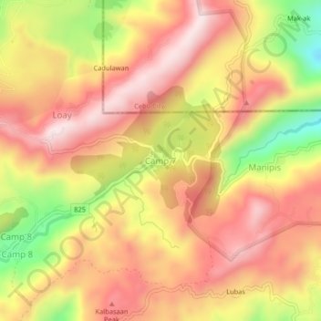
Name: Camp 7 topographic map, elevation, terrain.
Location: Camp 7, Cebu, Central Visayas, Philippines (10.30209 123.75300 10.34209 123.79300)
Average elevation: 494 m
Minimum elevation: 187 m
Maximum elevation: 689 m
Thank you for supporting this site ❤️
Make a donation
Make a donation
Other topographic maps
Click on a map to view its topography, its elevation and its terrain.