
Fort Rock topographic map
Interactive map
Click on the map to display elevation.
About this map
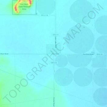
Name: Fort Rock topographic map, elevation, terrain.
Location: Fort Rock, Lake County, Oregon, USA (43.33627 -121.07490 43.37627 -121.03490)
Average elevation: 1,322 m
Minimum elevation: 1,314 m
Maximum elevation: 1,406 m