
Thank you for supporting this site ❤️
Make a donation
Make a donation
Sugar Bowl topographic map
Click on the map to display elevation.
Thank you for supporting this site ❤️
Make a donation
Make a donation
About this map
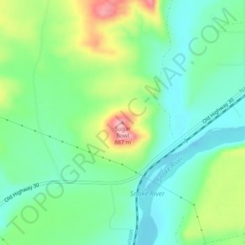
Name: Sugar Bowl topographic map, elevation, terrain.
Location: Sugar Bowl, Elmore County, Idaho, 83633, United States (42.99318 -115.24206 42.99328 -115.24196)
Average elevation: 799 m
Minimum elevation: 757 m
Maximum elevation: 884 m
Thank you for supporting this site ❤️
Make a donation
Make a donation