
Gotolo Ta topographic map
Interactive map
Click on the map to display elevation.
About this map
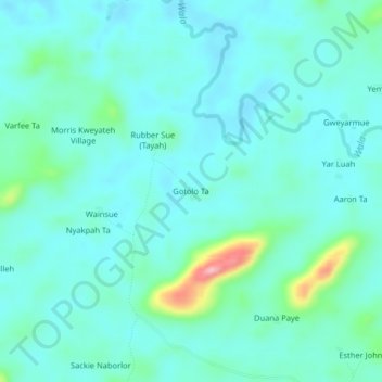
Name: Gotolo Ta topographic map, elevation, terrain.
Location: Gotolo Ta, Sanoyeah, Bong County, Liberia (6.98745 -10.01791 7.02745 -9.97791)
Average elevation: 198 m
Minimum elevation: 173 m
Maximum elevation: 316 m