
Thank you for supporting this site ❤️
Make a donation
Make a donation
Greven topographic map
Click on the map to display elevation.
Thank you for supporting this site ❤️
Make a donation
Make a donation
About this map
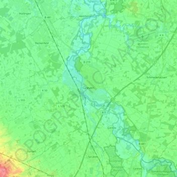
Name: Greven topographic map, elevation, terrain.
Location: Greven, Kreis Steinfurt, North Rhine-Westphalia, 48268, Germany (52.03256 7.52337 52.15176 7.75559)
Average elevation: 49 m
Minimum elevation: 33 m
Maximum elevation: 100 m
Thank you for supporting this site ❤️
Make a donation
Make a donation