
Lydum topographic map
Interactive map
Click on the map to display elevation.
About this map
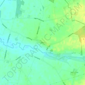
Name: Lydum topographic map, elevation, terrain.
Location: Lydum, Varde Kommune, Region Süddänemark, Dänemark (55.79450 8.35147 55.79880 8.36253)
Average elevation: 12 m
Minimum elevation: 3 m
Maximum elevation: 24 m