
Steinau topographic map
Interactive map
Click on the map to display elevation.
About this map
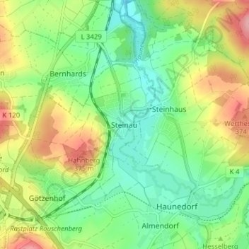
Name: Steinau topographic map, elevation, terrain.
Location: Steinau, Petersberg, Landkreis Fulda, Hessen, 36100, Deutschland (50.57288 9.71640 50.61288 9.75640)
Average elevation: 319 m
Minimum elevation: 271 m
Maximum elevation: 398 m