
Staveley topographic map
Click on the map to display elevation.
About this map
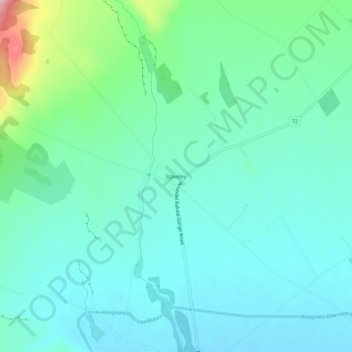
Name: Staveley topographic map, elevation, terrain.
Location: Staveley, Ashburton District, Canterbury, New Zealand (-43.67191 171.42261 -43.63191 171.46261)
Average elevation: 378 m
Minimum elevation: 337 m
Maximum elevation: 536 m
Ashburton District trails, hiking, mountain biking, running and outdoor activities
Other topographic maps
Click on a map to view its topography, its elevation and its terrain.