
Thank you for supporting this site ❤️
Make a donation
Make a donation
Araku Valley topographic map
Click on the map to display elevation.
Thank you for supporting this site ❤️
Make a donation
Make a donation
About this map
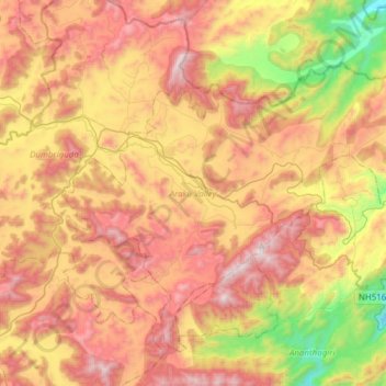
Name: Araku Valley topographic map, elevation, terrain.
Location: Araku Valley, Visakhapatnam, Andhra Pradesh, India (18.17358 82.79906 18.41293 83.10509)
Average elevation: 985 m
Minimum elevation: 275 m
Maximum elevation: 1,633 m
Thank you for supporting this site ❤️
Make a donation
Make a donation