
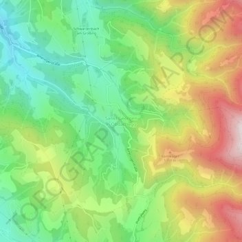
Sankt Georgen in Obdachegg topographic map
Interactive map
Click on the map to display elevation.
About this map
Name: Sankt Georgen in Obdachegg topographic map, elevation, terrain.
Average elevation: 1,124 m
Minimum elevation: 811 m
Maximum elevation: 1,576 m
Other topographic maps
Click on a map to view its topography, its elevation and its terrain.
Schönberg
Austria > Styria > Bezirk Murtal > Flatschach
Schönberg, Flatschach, Spielberg, Bezirk Murtal, Styria, 8720, Austria
Average elevation: 806 m