
Thank you for supporting this site ❤️
Make a donation
Make a donation
Spring Cove topographic map
Click on the map to display elevation.
Thank you for supporting this site ❤️
Make a donation
Make a donation
About this map
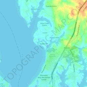
Name: Spring Cove topographic map, elevation, terrain.
Location: Spring Cove, Calvert County, Maryland, 20688, United States (38.33235 -76.49162 38.37235 -76.45162)
Average elevation: 7 m
Minimum elevation: -2 m
Maximum elevation: 37 m
Thank you for supporting this site ❤️
Make a donation
Make a donation