
Thank you for supporting this site ❤️
Make a donation
Make a donation
Mustang Ridge topographic map
Click on the map to display elevation.
Thank you for supporting this site ❤️
Make a donation
Make a donation
About this map
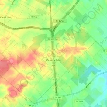
Name: Mustang Ridge topographic map, elevation, terrain.
Location: Mustang Ridge, Travis County, Texas, United States (30.02062 -97.71265 30.10324 -97.63016)
Average elevation: 187 m
Minimum elevation: 152 m
Maximum elevation: 229 m
Thank you for supporting this site ❤️
Make a donation
Make a donation
Other topographic maps
Click on a map to view its topography, its elevation and its terrain.
Austin
United States > Texas > Travis County > Austin
The elevation of Austin varies from 425 feet (130 m) to approximately 1,000 feet (305 m) above sea level. Due to the fact it straddles the Balcones Fault, much of the eastern part of the city is flat, with heavy clay and loam soils, whereas the western part and western suburbs consist of rolling hills on the…
Average elevation: 203 m