
Thank you for supporting this site ❤️
Make a donation
Make a donation
Sweet Home topographic map
Click on the map to display elevation.
Thank you for supporting this site ❤️
Make a donation
Make a donation
About this map
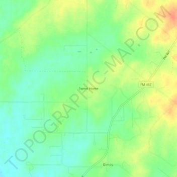
Name: Sweet Home topographic map, elevation, terrain.
Location: Sweet Home, Guadalupe County, Texas, United States (29.43801 -98.05890 29.47801 -98.01890)
Average elevation: 166 m
Minimum elevation: 147 m
Maximum elevation: 191 m
Thank you for supporting this site ❤️
Make a donation
Make a donation
Other topographic maps
Click on a map to view its topography, its elevation and its terrain.