
Valleikanaal topographic map
Interactive map
Click on the map to display elevation.
About this map
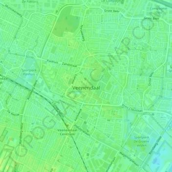
Name: Valleikanaal topographic map, elevation, terrain.
Location: Valleikanaal, Veenendaal, Utrecht, Nederland, 3901 EK, Nederland (52.02175 5.54030 52.03070 5.57013)
Average elevation: 9 m
Minimum elevation: 2 m
Maximum elevation: 13 m
Other topographic maps
Click on a map to view its topography, its elevation and its terrain.
Benedeneind
Nederland > Utrecht > Veenendaal
Benedeneind, Veenendaal, Utrecht, Nederland, 3907 GE, Nederland
Average elevation: 8 m