
Thank you for supporting this site ❤️
Make a donation
Make a donation
Faranah Region topographic map
Click on the map to display elevation.
Thank you for supporting this site ❤️
Make a donation
Make a donation
About this map
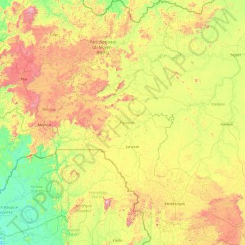
Name: Faranah Region topographic map, elevation, terrain.
Location: Faranah Region, Guinea (8.57209 -11.59959 12.23174 -8.70030)
Average elevation: 478 m
Minimum elevation: 26 m
Maximum elevation: 1,836 m
Thank you for supporting this site ❤️
Make a donation
Make a donation