
Thank you for supporting this site ❤️
Make a donation
Make a donation
Beaver Creek topographic map
Click on the map to display elevation.
Thank you for supporting this site ❤️
Make a donation
Make a donation
About this map
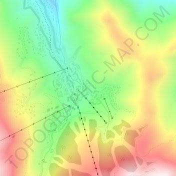
Name: Beaver Creek topographic map, elevation, terrain.
Location: Beaver Creek, Eagle County, Colorado, 81260, United States (39.60122 -106.52305 39.61003 -106.50812)
Average elevation: 2,604 m
Minimum elevation: 2,337 m
Maximum elevation: 2,908 m
Thank you for supporting this site ❤️
Make a donation
Make a donation