
Thank you for supporting this site ❤️
Make a donation
Make a donation
Sungai Benus topographic map
Click on the map to display elevation.
Thank you for supporting this site ❤️
Make a donation
Make a donation
About this map
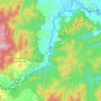
Name: Sungai Benus topographic map, elevation, terrain.
Location: Sungai Benus, Bentong, Pahang, Malaysia (3.32853 101.85818 3.49638 101.93152)
Average elevation: 512 m
Minimum elevation: 77 m
Maximum elevation: 1,499 m
Thank you for supporting this site ❤️
Make a donation
Make a donation