
Thank you for supporting this site ❤️
Make a donation
Make a donation
Mulliken topographic map
Click on the map to display elevation.
Thank you for supporting this site ❤️
Make a donation
Make a donation
About this map
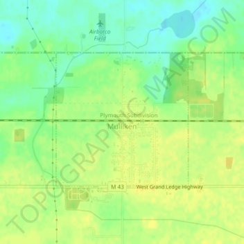
Name: Mulliken topographic map, elevation, terrain.
Location: Mulliken, Eaton County, Michigan, United States (42.75501 -84.90633 42.77041 -84.88639)
Average elevation: 261 m
Minimum elevation: 248 m
Maximum elevation: 270 m
Thank you for supporting this site ❤️
Make a donation
Make a donation
Other topographic maps
Click on a map to view its topography, its elevation and its terrain.