
Canticum topographic map
Interactive map
Click on the map to display elevation.
About this map
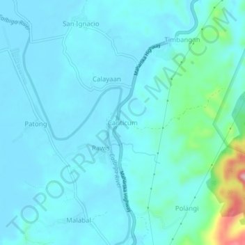
Name: Canticum topographic map, elevation, terrain.
Location: Canticum, Samar, Eastern Visayas, 6715, Philippines (11.63063 124.99930 11.67063 125.03930)
Average elevation: 23 m
Minimum elevation: 0 m
Maximum elevation: 184 m
Other topographic maps
Click on a map to view its topography, its elevation and its terrain.