
Thank you for supporting this site ❤️
Make a donation
Make a donation
Whitfield County topographic map
Click on the map to display elevation.
Thank you for supporting this site ❤️
Make a donation
Make a donation
About this map
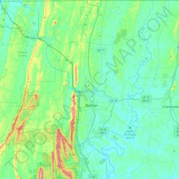
Name: Whitfield County topographic map, elevation, terrain.
Location: Whitfield County, Georgia, United States (34.61556 -85.16973 34.98801 -84.81039)
Average elevation: 258 m
Minimum elevation: 191 m
Maximum elevation: 561 m
Thank you for supporting this site ❤️
Make a donation
Make a donation
Other topographic maps
Click on a map to view its topography, its elevation and its terrain.