
United Bayanihan topographic map
Interactive map
Click on the map to display elevation.
About this map
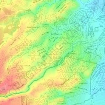
Name: United Bayanihan topographic map, elevation, terrain.
Average elevation: 67 m
Minimum elevation: 24 m
Maximum elevation: 109 m
Other topographic maps
Click on a map to view its topography, its elevation and its terrain.
Sitio Maharlika
Philippines > Laguna > San Pedro > San Antonio > Sitio Maharlika
Average elevation: 27 m