
Dalecarlia Reservoir topographic map
Interactive map
Click on the map to display elevation.
About this map
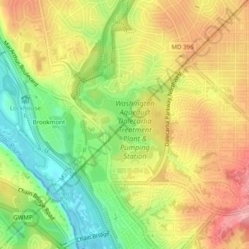
Name: Dalecarlia Reservoir topographic map, elevation, terrain.
Average elevation: 61 m
Minimum elevation: -1 m
Maximum elevation: 118 m
Other topographic maps
Click on a map to view its topography, its elevation and its terrain.
Capitol Hill
USA > District of Columbia > Washington
Capitol Hill, Washington, District of Columbia, 20215, USA
Average elevation: 18 m