
Thank you for supporting this site ❤️
Make a donation
Make a donation
Deepwater topographic map
Click on the map to display elevation.
Thank you for supporting this site ❤️
Make a donation
Make a donation
About this map
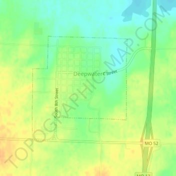
Name: Deepwater topographic map, elevation, terrain.
Location: Deepwater, Henry County, Missouri, United States (38.25033 -93.78391 38.26633 -93.76531)
Average elevation: 231 m
Minimum elevation: 214 m
Maximum elevation: 246 m
Thank you for supporting this site ❤️
Make a donation
Make a donation