
Thank you for supporting this site ❤️
Make a donation
Make a donation
Lehigh County topographic map
Click on the map to display elevation.
Thank you for supporting this site ❤️
Make a donation
Make a donation
About this map
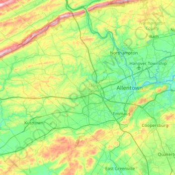
Name: Lehigh County topographic map, elevation, terrain.
Location: Lehigh County, Pennsylvania, United States of America (40.41848 -75.89147 40.78669 -75.33305)
Average elevation: 186 m
Minimum elevation: 64 m
Maximum elevation: 509 m
Thank you for supporting this site ❤️
Make a donation
Make a donation