
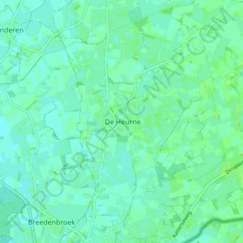
De Heurne topographic map
Interactive map
Click on the map to display elevation.
About this map
Name: De Heurne topographic map, elevation, terrain.
Location: De Heurne, Aalten, Gelderland, Nederland, 7095AV, Nederland (51.86955 6.47116 51.90955 6.51116)
Average elevation: 20 m
Minimum elevation: 16 m
Maximum elevation: 23 m