
Abelo topographic map
Click on the map to display elevation.
About this map
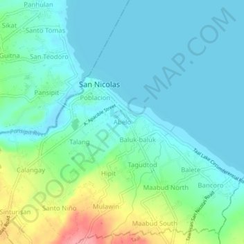
Name: Abelo topographic map, elevation, terrain.
Location: Abelo, San Nicolas, Batangas, Calabarzon, 4207, Philippines (13.90372 120.93604 13.94372 120.97604)
Average elevation: 27 m
Minimum elevation: 3 m
Maximum elevation: 107 m