
Thank you for supporting this site ❤️
Make a donation
Make a donation
Buffalo topographic map
Click on the map to display elevation.
Thank you for supporting this site ❤️
Make a donation
Make a donation
About this map
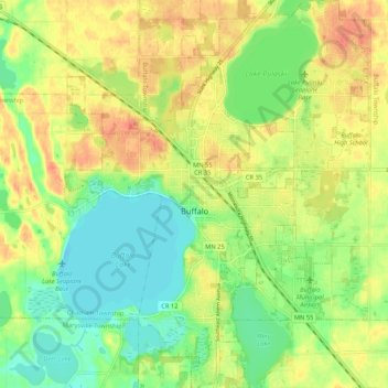
Name: Buffalo topographic map, elevation, terrain.
Location: Buffalo, Wright County, Minnesota, 55313, United States (45.13790 -93.91014 45.21229 -93.82690)
Average elevation: 297 m
Minimum elevation: 273 m
Maximum elevation: 322 m
Thank you for supporting this site ❤️
Make a donation
Make a donation