
Thank you for supporting this site ❤️
Make a donation
Make a donation
Calendola topographic map
Click on the map to display elevation.
Thank you for supporting this site ❤️
Make a donation
Make a donation
About this map
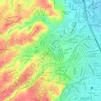
Name: Calendola topographic map, elevation, terrain.
Location: Calendola, San Pedro, Laguna, Calabarzon, 4023, Philippines (14.33667 121.02715 14.34653 121.03998)
Average elevation: 50 m
Minimum elevation: 14 m
Maximum elevation: 87 m
Thank you for supporting this site ❤️
Make a donation
Make a donation