
Thank you for supporting this site ❤️
Make a donation
Make a donation
Leeville topographic map
Click on the map to display elevation.
Thank you for supporting this site ❤️
Make a donation
Make a donation
About this map
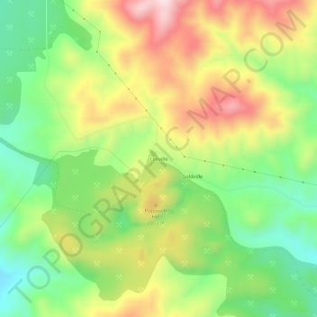
Name: Leeville topographic map, elevation, terrain.
Location: Leeville, Eureka County, Nevada, United States (40.89765 -116.33481 40.93765 -116.29481)
Average elevation: 1,893 m
Minimum elevation: 1,698 m
Maximum elevation: 2,142 m
Thank you for supporting this site ❤️
Make a donation
Make a donation