
Vennesla topographic map
Interactive map
Click on the map to display elevation.
About this map
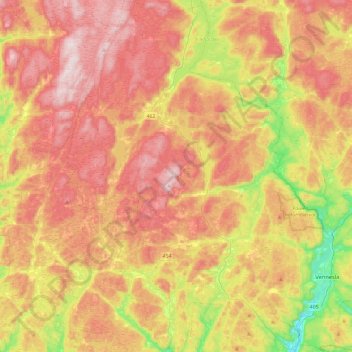
Name: Vennesla topographic map, elevation, terrain.
Location: Vennesla, Agder, Noruega (58.21664 7.62390 58.46299 8.07948)
Average elevation: 268 m
Minimum elevation: 0 m
Maximum elevation: 497 m
Other topographic maps
Click on a map to view its topography, its elevation and its terrain.