
Thank you for supporting this site ❤️
Make a donation
Make a donation
Nash topographic map
Click on the map to display elevation.
Thank you for supporting this site ❤️
Make a donation
Make a donation
About this map
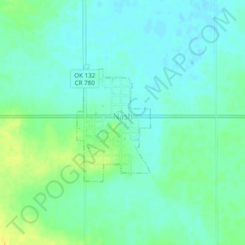
Name: Nash topographic map, elevation, terrain.
Location: Nash, Grant County, Oklahoma, 73761, United States (36.65894 -98.05667 36.67185 -98.04655)
Average elevation: 344 m
Minimum elevation: 337 m
Maximum elevation: 358 m
Thank you for supporting this site ❤️
Make a donation
Make a donation