
White City topographic map
Interactive map
Click on the map to display elevation.
About this map
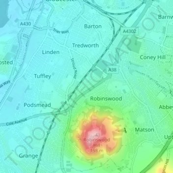
Name: White City topographic map, elevation, terrain.
Average elevation: 38 m
Minimum elevation: 7 m
Maximum elevation: 191 m
Other topographic maps
Click on a map to view its topography, its elevation and its terrain.
Lower Rea
United Kingdom > England > Gloucestershire > Gloucester
Lower Rea, Quedgeley, Gloucester, Gloucestershire, England, GL2 3NW, United Kingdom
Average elevation: 17 m
Gloucester
United Kingdom > England > Gloucestershire > Gloucester
Gloucester, Gloucestershire, South West England, England, GL1 2AP, United Kingdom
Average elevation: 83 m