
Thank you for supporting this site ❤️
Make a donation
Make a donation
Stugun topographic map
Click on the map to display elevation.
Thank you for supporting this site ❤️
Make a donation
Make a donation
About this map
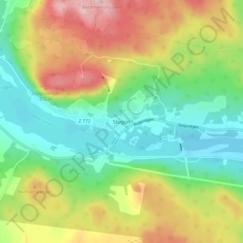
Name: Stugun topographic map, elevation, terrain.
Location: Stugun, Ragunda kommun, Jämtland County, 830 76, Sweden (63.14788 15.58049 63.18788 15.62049)
Average elevation: 282 m
Minimum elevation: 203 m
Maximum elevation: 402 m
Thank you for supporting this site ❤️
Make a donation
Make a donation