
Thank you for supporting this site ❤️
Make a donation
Make a donation
Prague topographic map
Click on the map to display elevation.
Thank you for supporting this site ❤️
Make a donation
Make a donation
About this map
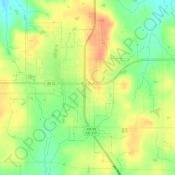
Name: Prague topographic map, elevation, terrain.
Location: Prague, Lincoln County, Oklahoma, United States (35.47002 -96.72011 35.50152 -96.67447)
Average elevation: 304 m
Minimum elevation: 279 m
Maximum elevation: 324 m
Thank you for supporting this site ❤️
Make a donation
Make a donation
Other topographic maps
Click on a map to view its topography, its elevation and its terrain.