
Thank you for supporting this site ❤️
Make a donation
Make a donation
Kabuchai topographic map
Click on the map to display elevation.
Thank you for supporting this site ❤️
Make a donation
Make a donation
About this map
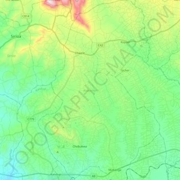
Name: Kabuchai topographic map, elevation, terrain.
Location: Kabuchai, Bungoma County, Western, Kenya (0.58671 34.53028 0.79925 34.67461)
Average elevation: 1,541 m
Minimum elevation: 1,318 m
Maximum elevation: 2,138 m
Thank you for supporting this site ❤️
Make a donation
Make a donation