
Goré topographic map
Interactive map
Click on the map to display elevation.
About this map
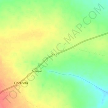
Name: Goré topographic map, elevation, terrain.
Location: Goré, Logone Occidental, Chad (8.40292 15.80335 8.44292 15.84335)
Average elevation: 450 m
Minimum elevation: 420 m
Maximum elevation: 479 m
Other topographic maps
Click on a map to view its topography, its elevation and its terrain.