
Thank you for supporting this site ❤️
Make a donation
Make a donation
Pleasant Valley topographic map
Click on the map to display elevation.
Thank you for supporting this site ❤️
Make a donation
Make a donation
About this map
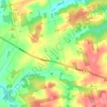
Name: Pleasant Valley topographic map, elevation, terrain.
Location: Pleasant Valley, Queens County, Prince Edward Island, Canada (46.35539 -63.50364 46.38814 -63.43829)
Average elevation: 76 m
Minimum elevation: 32 m
Maximum elevation: 126 m
Thank you for supporting this site ❤️
Make a donation
Make a donation
Other topographic maps
Click on a map to view its topography, its elevation and its terrain.