
Thank you for supporting this site ❤️
Make a donation
Make a donation
Valley View topographic map
Click on the map to display elevation.
Thank you for supporting this site ❤️
Make a donation
Make a donation
About this map
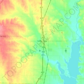
Name: Valley View topographic map, elevation, terrain.
Location: Valley View, Cooke County, Texas, United States (33.42391 -97.17610 33.54900 -97.12934)
Average elevation: 222 m
Minimum elevation: 190 m
Maximum elevation: 272 m
Thank you for supporting this site ❤️
Make a donation
Make a donation
Other topographic maps
Click on a map to view its topography, its elevation and its terrain.