
Area D (Oyster Bay/Buttle Lake) topographic map
Interactive map
Click on the map to display elevation.
About this map
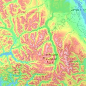
Name: Area D (Oyster Bay/Buttle Lake) topographic map, elevation, terrain.
Average elevation: 723 m
Minimum elevation: -1 m
Maximum elevation: 2,120 m