
Dromore topographic map
Click on the map to display elevation.
About this map
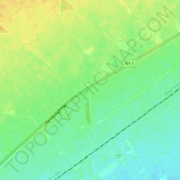
Name: Dromore topographic map, elevation, terrain.
Location: Dromore, Ashburton District, Canterbury, 7772, New Zealand (-43.84769 171.84070 -43.82769 171.86070)
Average elevation: 123 m
Minimum elevation: 110 m
Maximum elevation: 135 m
Ashburton District trails, hiking, mountain biking, running and outdoor activities
Other topographic maps
Click on a map to view its topography, its elevation and its terrain.