
Mota topographic map
Interactive map
Click on the map to display elevation.
About this map
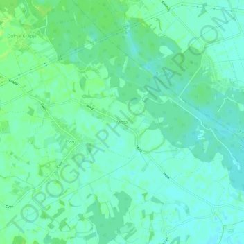
Name: Mota topographic map, elevation, terrain.
Location: Mota, Ljutomer, 9240, Eslovénia (46.52661 16.21014 46.56661 16.25014)
Average elevation: 174 m
Minimum elevation: 169 m
Maximum elevation: 180 m