
Thank you for supporting this site ❤️
Make a donation
Make a donation
La Madera topographic map
Click on the map to display elevation.
Thank you for supporting this site ❤️
Make a donation
Make a donation
About this map
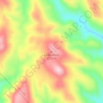
Name: La Madera topographic map, elevation, terrain.
Location: La Madera, Carichí, Chihuahua, Mexico (27.65830 -106.72206 27.65840 -106.72196)
Average elevation: 2,093 m
Minimum elevation: 1,939 m
Maximum elevation: 2,235 m
Thank you for supporting this site ❤️
Make a donation
Make a donation