
Tamahere topographic map
Click on the map to display elevation.
About this map
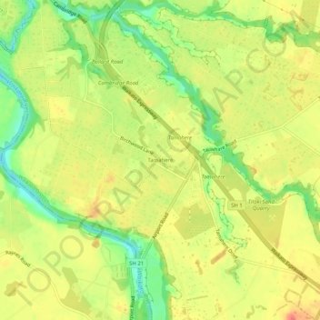
Name: Tamahere topographic map, elevation, terrain.
Location: Tamahere, Waikato District, Waikato, 3283, New Zealand (-37.84865 175.33148 -37.80865 175.37148)
Average elevation: 49 m
Minimum elevation: 16 m
Maximum elevation: 73 m
Waikato District trails, hiking, mountain biking, running and outdoor activities
Other topographic maps
Click on a map to view its topography, its elevation and its terrain.