
Sobral topographic map
Interactive map
Click on the map to display elevation.
About this map
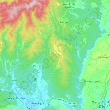
Name: Sobral topographic map, elevation, terrain.
Location: Sobral, Mortágua, Viseu, Portugal (40.38930 -8.25376 40.51696 -8.15763)
Average elevation: 266 m
Minimum elevation: 89 m
Maximum elevation: 769 m