
Thank you for supporting this site ❤️
Make a donation
Make a donation
Brantu pagasts topographic map
Click on the map to display elevation.
Thank you for supporting this site ❤️
Make a donation
Make a donation
About this map
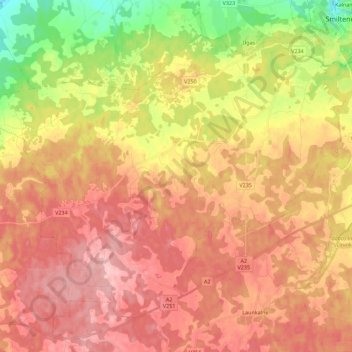
Name: Brantu pagasts topographic map, elevation, terrain.
Location: Brantu pagasts, Smiltenes novads, Vidzeme, Latvia (57.32183 25.68364 57.41881 25.90711)
Average elevation: 169 m
Minimum elevation: 84 m
Maximum elevation: 227 m
Thank you for supporting this site ❤️
Make a donation
Make a donation